Jack London Alley & S Park Street
San Francisco
CA
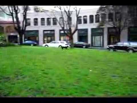
South Park
Descripción


The park was originally constructed in 1855 as the center of an exclusive residential community. It was modeled after a square in London, England. It featured the first paved streets and sidewalks in San Francisco. A windmill in the center of the park pumped water for the houses.

Location:
Javascript is required to view this map.
Comentarios
Conexiones
Compare related sites, explore the related maps, find out about volunteering, how to get here and more. Soon, you will find ways to share this map here, too.
Every site using the same primary Icon on Open Green Map is automatically linked here. You can compare different approaches and solutions on this map and others around the world.
Choose a connections category from the list on the left.
Other Sites on Map
- San Francisco
- San Francisco
- San Francisco
- San Francisco
- San Francisco
- San Francisco
- San Francisco
- San Francisco
- San Francisco
- San Francisco
Related Sites Worldwide
- DecaturEstados Unidos
- Malvern EastAustralia
- ChambésySwitzerland
- Switzerland
- SarasotaEstados Unidos
- BarcelonaSpain
- BaltimoreEstados Unidos
- BaltimoreEstados Unidos
- Estados Unidos
- South Korea
- RichmondEstados Unidos
- Estados Unidos
- Wisconsin RapidsEstados Unidos
- SwanseaReino Unido
- OaklandEstados Unidos
- Cluj NapocaRomania
-
- Wisconsin RapidsEstados Unidos
- San AntonioEstados Unidos
- Switzerland
- NewfieldEstados Unidos
- Estados Unidos
- Estados Unidos
- Reino Unido
- CaliColombia
Multimedia
 added by

Impactos
No impacts have been left for this site yet - be the first!


