Antilla Ship Wreck
Overview
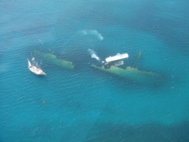

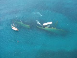
"The Antilla is World War II shipwreck off the coast of Aruba that is a popular snorkeling and scuba diving destination. On May 10, 1940, Germany invaded the Netherlands. As part of the Kingdom of the Netherlands, this extended to Aruba. The Antilla was a German U-boat supply ship that was anchored off the coast of Aruba at the time. When a contingent of Dutch Marines told the Antilla to surrender, the captain asked for an extension, and the Dutch accepted and gave the ship 24 hours to surrender. Rather than see her turned over to the enemy, the captain decided to scuttle the ship. At 400 feet long, the Antilla is one of the Caribbean’s largest shipwrecks. It lies on its port side at a maximum depth of 55 feet. Over the last few years the Antilla has begun to collapse; the ship used to be open to special wreck penetration scuba diving but now after the hull has been weakened by storms it is collapsing on a daily basis, making it unsafe to go inside the wreck. Many marine lifeforms have made their home on the ship."
Source: http://en.wikipedia.org/wiki/Antilla_shipwreck

Location:
Comments
Connections
n/a
- OspreyUnited States
- SarasotaUnited States
- GainesvilleUnited States
- Taiwan
- SarasotaUnited States
- SarasotaUnited States
- South Africa
- Providence
-
-
- Taiwan
- SarasotaUnited States
- Lebanon
- ChattanoogaUnited States
- shanghaiChina
- SarasotaUnited States
-
- BerlinGermany
- New YorkUnited States
- SarasotaUnited States
- SarasotaUnited States
- OspreyUnited States
- Longboat KeyUnited States
- DetroitUnited States
- Mariposa County/Yosemite National ParkUnited States
Multimedia
Antilla Ship Wreck


Impacts
No impacts have been left for this site yet - be the first!


