RUA ANTÔNIO LUZ, 260
FLORIANÓPOLIS
SC
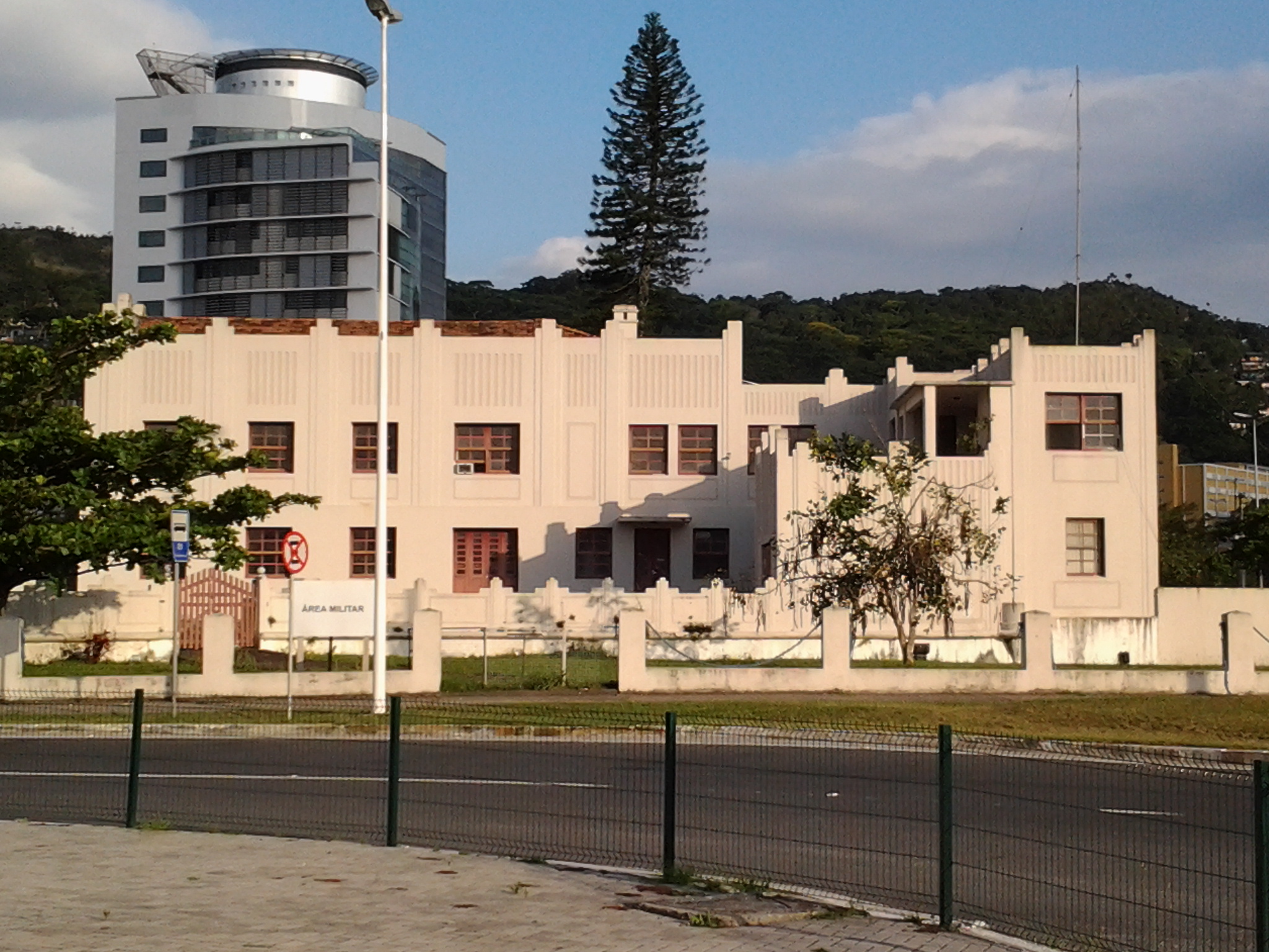
Forte de Santa Bárbara
Visão geral


FORTE FEITO NA SEGUNDA METADE DO SÉCULO XVIII, COM O INTUITO DE DEFESA DA CIDADE DE DESTERRO, NA ÉPOCA. HOJE, APENAS UMA ÁREA MILITAR.

Location:
Javascript is required to view this map.
Comentários
Connections
Compare related sites, explore the related maps, find out about volunteering, how to get here and more. Soon, you will find ways to share this map here, too.
Every site using the same primary Icon on Open Green Map is automatically linked here. You can compare different approaches and solutions on this map and others around the world.
Choose a connections category from the list on the left.
Other Sites on Map
-
- Fpolis
- Florianópolis
- Florianópolis
Related Sites Worldwide
- Taiwan
- RochesterEstados Unidos
- Cluj-NapocaRomania
- Cluj-NapocaRomania
- AradRomania
- Cluj-NapocaRomania
- Atlantic CityEstados Unidos
- Taiwan
- Estados Unidos
- Staten IslandEstados Unidos
- Estados Unidos
- Pereira
- PalmasBrazil
- RochesterEstados Unidos
- OcracokeEstados Unidos
- Brazil
- OcracokeEstados Unidos
- Jersey CityEstados Unidos
- Cluj-NapocaRomania
- Cape Town
- Pereira
- OcracokeEstados Unidos
- Jackson HeightsEstados Unidos
- NatalBrazil
- Colombia
Multimedia

Forte de Santa Bárbara

Impacts
No impacts have been left for this site yet - be the first!


