Jack London Alley & S Park Street
San Francisco
CA
South Park
Übersicht


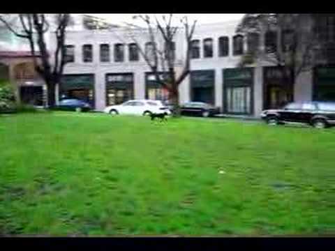
The park was originally constructed in 1855 as the center of an exclusive residential community. It was modeled after a square in London, England. It featured the first paved streets and sidewalks in San Francisco. A windmill in the center of the park pumped water for the houses.

Location:
Javascript is required to view this map.
Kommentare
Verbindungen
Compare related sites, explore the related maps, find out about volunteering, how to get here and more. Soon, you will find ways to share this map here, too.
Every site using the same primary Icon on Open Green Map is automatically linked here. You can compare different approaches and solutions on this map and others around the world.
Choose a connections category from the list on the left.
Andere Orte auf der Karte
- San Francisco
- San Francisco
- San Francisco
- San Francisco
- San Francisco
- San Francisco
- San Francisco
- San Francisco
- San Francisco
- San Francisco
Ähnliche Orte weltweit
- SarasotaUnited States
- Wisconsin RapidsUnited States
- St. LouisUnited States
- KingCanada
- JerusalemIsrael
- Mechanicsburg
- SwanseaUnited Kingdom
- United States
- OaklandUnited States
- Stevens PointUnited States
- North CharlestonUnited States
- United States
- New YorkUnited States
- United States
- CaliColombia
- FlorianópolisBrazil
- VeniceUnited States
- Easton
- BaltimoreUnited States
- BronxUnited States
- SarasotaUnited States
- BrooklynUnited States
- SarasotaUnited States
- Cluj-NapocaRomania
- OaklandUnited States
Multimedia
 Hinzugefügt von

Auswirkungen
No impacts have been left for this site yet - be the first!


