Schooley's Mountain Road
Long Valley
NJ 07853
Cataract Park
Overview


Hiking to historic waterfall or to the opening (now closed off) of the former Marsh Iron Mine.
The waterfall was described by the French Minister to the US, Jean B.G.Roux de Rochelle, in his 1837 book "Etats-Unis d'Amerique" and was one of 96 illustrations by noted engraver, Jacques Milbert.
Township of Washington, Morris County, New Jersey
updated 05/2012 by Washington Township Morris County
updated 05/2012 by Washington Township Morris County

Location:
Javascript is required to view this map.
Comments
Connections
Compare related sites, explore the related maps, find out about volunteering, how to get here and more. Soon, you will find ways to share this map here, too.
Every site using the same primary Icon on Open Green Map is automatically linked here. You can compare different approaches and solutions on this map and others around the world.
Choose a connections category from the list on the left.
Other Sites on Map
-
-
- Long Valley
-
-
- Long Valley
-
Related Sites Worldwide
-
- SarasotaUnited States
- SarasotaUnited States
- VeniceUnited States
- DecaturUnited States
- Colombia
- TartuEstonia
- Malvern EastAustralia
- Brazil
- Abu DhabiUnited Arab Emirates
- San FranciscoUnited States
-
- Cape TownSouth Africa
- Curitiba, PRBrazil
- New YorkUnited States
- Cluj-NapocaRomania
- Brazil
- Canada
- AustinUnited States
- KettelbyCanada
- SarasotaUnited States
- Baltimore, MDUnited States
- United States
- BaltimoreUnited States
- New YorkUnited States
Multimedia
 added by
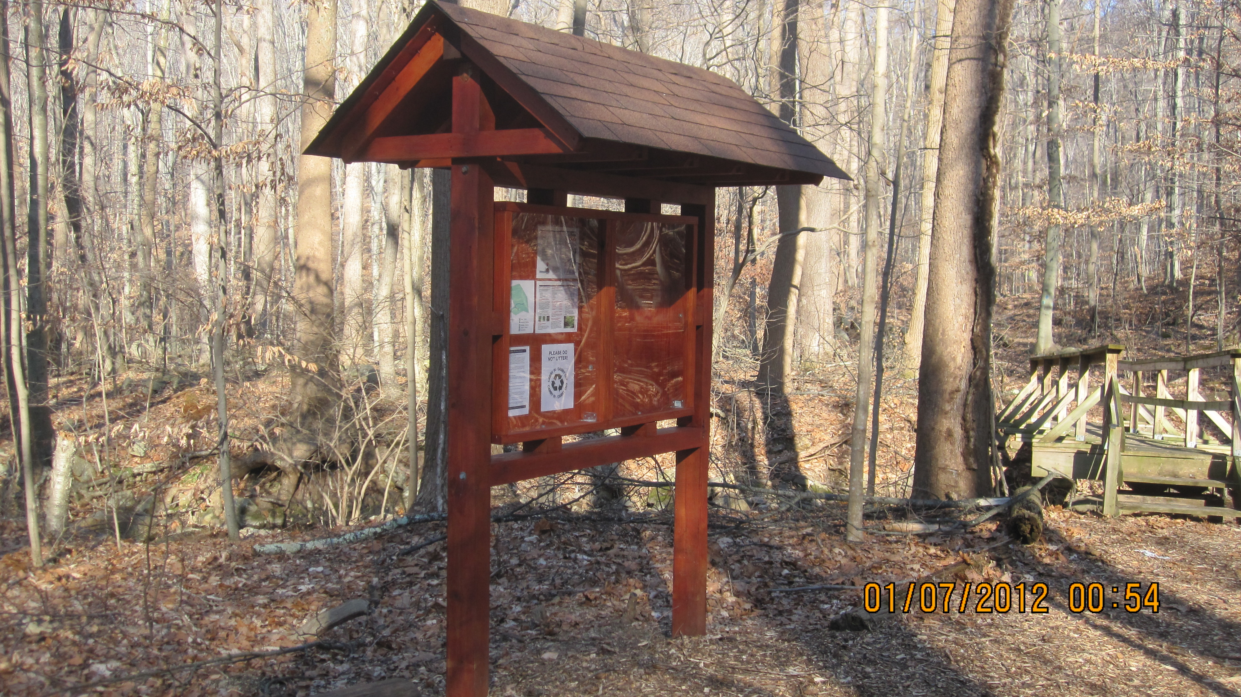

Impacts
No impacts have been left for this site yet - be the first!


