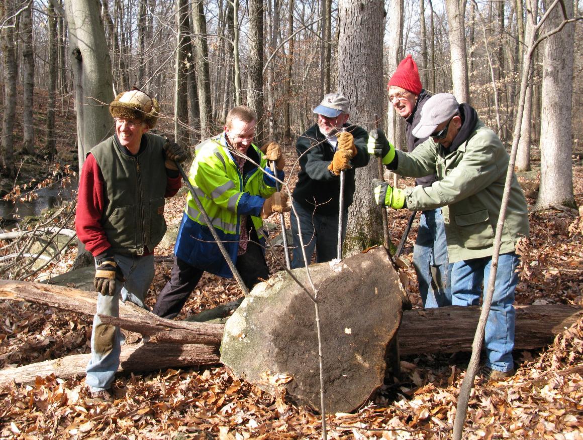
Pryde’s Point Trail
Overview


Pryde’s Point Trail
Trail Information: 1.1 miles (loop trail), easy. The trail begins at one of the highest points in Hunterdon County, with long views northwest towards the Delaware Water Gap and descends to Alexauken Creek, where water tumbles across rock ledges on its course to the Delaware. This new trail provides a potential core for future development of an extensive trail network along the creek. The property’s mature forest is contiguous with the Alexauken Wildlife Management Area. The site provides important habitat for nesting neotropical migrant birds and nearby ponds support waterfowl. The trail will open to the public on Saturday, May 5th, 2012.
History: The Pryde Brown property was preserved under a conservation easement with D&R Greenway Land Trust in 2002.
Location: Gulick Rd, Ringoes, NJ 08551
Directions: From Route 31, approximately a mile and a quarter south of the intersection with US Route 202, turn west onto Rocktown Road. Then turn right onto Gulick Road which is only a few hundred yards from the Route 31 intersection. Proceed on Gulick Road a little less than one half mile and on the left (at a sharp bend in the road) is the driveway and parking area.

Location:
Comments
Connections
-
-
-
-
- Princeton
-
-
-
-
-
-
-
- SarasotaUnited States
- JacksonvilleUnited States
- RichmondUnited States
- United Kingdom
-
- PietermaritzburgSouth Africa
- taoyuan countyTaiwan
- BrooktondaleUnited States
- VeniceUnited States
- NewfieldUnited States
- LincolnUnited States
- United States
- Puerto AysénChile
-
- SarasotaUnited States
- BaltimoreUnited States
- Lebanon
- BaltimoreUnited States
- Cape TownSouth Africa
- United States
- United States
- BaltimoreUnited States
- FlorianópololisBrazil
Multimedia

Pryde’s Point Trail


Impacts
No impacts have been left for this site yet - be the first!


