St Andrews Street
Birdhaven
Birdhaven Park
Overview


Small roadside park situated between St Andrews Road and North Street, dotted with established trees.
+27 11 712 6600

Location:
Javascript is required to view this map.
Comments
Connections
Compare related sites, explore the related maps, find out about volunteering, how to get here and more. Soon, you will find ways to share this map here, too.
Every site using the same primary Icon on Open Green Map is automatically linked here. You can compare different approaches and solutions on this map and others around the world.
Choose a connections category from the list on the left.
Other Sites on Map
- Bryanston
- Paulshof
- Sunninghill
- Abbotsford
- Victory Park
- Petervale
- Modderfontein
- Emmarentia
- Edenburg, Rivonia
- Parkview
Related Sites Worldwide
- North PortUnited States
- Schomberg (king)Canada
- San FranciscoUnited States
- BaltimoreUnited States
- United States
- DecaturUnited States
- AustinUnited States
- United States
-
- BrooklynUnited States
-
- BaltimoreUnited States
- NokomisUnited States
- OaklandUnited States
- DubuqueUnited States
- OaklandUnited States
- United States
- OaklandUnited States
- SarasotaUnited States
- BaltimoreUnited States
-
- VeniceUnited States
- New YorkUnited States
- EspooFinland
- United Kingdom
Multimedia
 added by
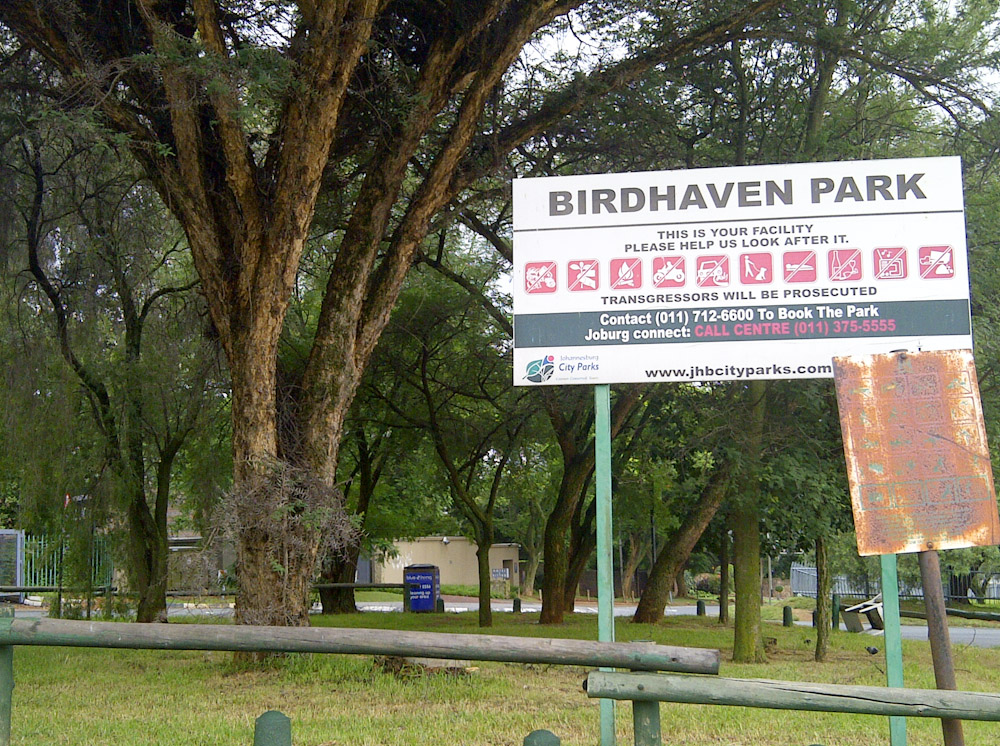
Impacts
No impacts have been left for this site yet - be the first!


